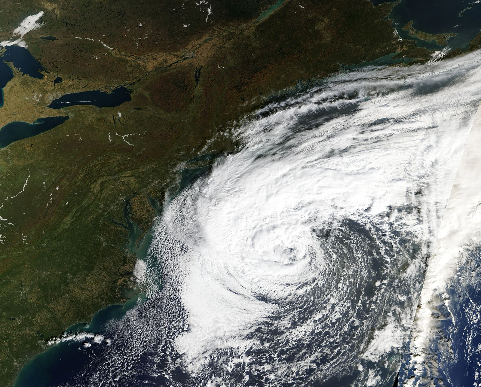
A storm seen from orbit
NASA’s 22 October image feature documents Josephine, named by the US National Hurricane Center on 21 October. Terra’s MODIS instrument captured the asymmetric storm that day. The feature describes a subtropical system off the US East Coast, with stronger convective bands on its western side. [1]
A dated snapshot
NASA describes a system drawing energy both from warm water and horizontal temperature contrasts. Its image and forecast discussion are dated 21–22 October; they are not a live position or a new forecast for 23 October. This distinction matters when a striking satellite picture keeps circulating after conditions change. [1]
Context: the centre is not the whole hazard
Reading a storm map only as a line showing the centre can leave out the information that matters at the coast. The useful questions concern the extent of wind, surf and other locally relevant hazards, and the time attached to each warning. A classification explains the system; it does not replace a local advisory.
What readers should check next
For a current decision, use the latest official warning for the location and time concerned. An image feature is valuable for understanding the structure of a storm, but it cannot establish whether a road, port or beach is safe today. Nove.news has not independently measured conditions. The accompanying image is the actual Terra/MODIS view from 21 October 2026.